|
|
To the East
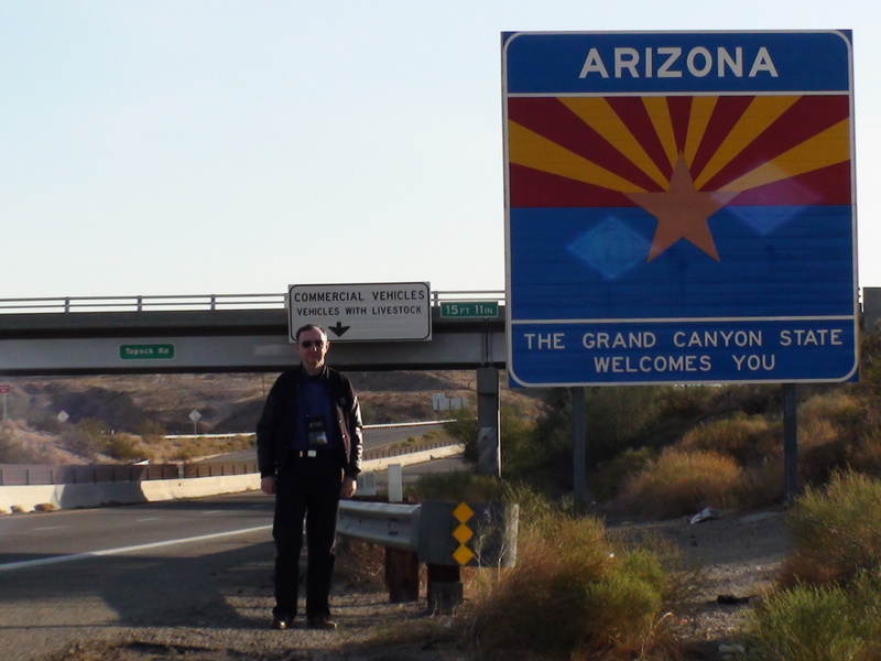
The real trip starts here. I leave California and enter Arizona.
Second leg : Needles, CA - Shamrock, TX, 900 miles, 14 hours
Leaving at 7:35, weather is already warm. They must have
rather high temperatures during the day.
Traffic is already on the road. 2 lanes, at 75 in AZ and NM, although
most trucks cannot sustain 75 due to the steep grades.
Needles is at 500 feet on the sea level. We climb to 3586 feet
in just 50 miles, from the Arizona border to Kingman, AZ,
and then even more,
up to 6840 feet in Flagstaff! That's 2300 meters on the sea level.
We can feel the weather has changed too. In Flagstaff there's a strong, chilly
wind.
Main features of this part of the trip are the rock formations in
the desert, that give way to beautiful conifer forests. The landscape
is varied and colorful. I stop at one of the many "indian trading posts".
They sell beautiful pottery (which I couldn't buy for fear of breaking
them during the return trip), sand-painted glass, petrified wood and
artistic creations by local indian artisans.
Interestingly these trading posts are not at the freeway exits, but
a few hundred yards from it. They don't look much from the outside,
but they're actually quite nice.
Another surprise is the number of freight trains that one can see
traveling on the railroad that goes parallel to the freeway for a long
stretch. Sometimes you can even see 2 trains crossing while traveling
in opposite directions. I try to film some of them with the rocky
backdrop of the mountains, but I'm not sure of the result giving the
vibration and the challenge of driving.
Luckily the sky is clear, the sun is shining and the light is just perfect.
I see many highway police patrols, sometimes driving in the opposite direction,
sometimes stopped in the crossover between the westbound and eastbound
and sometimes behind some stopped motorist.
It's easy to speed given the climbs and falls of the road. I have to be
careful. I just follow whoever is in front of me and I have no problem.
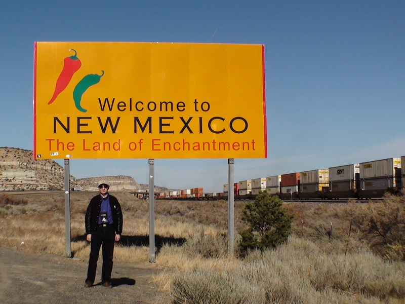
New Mexico is a bit of a disappointment. While I had already been in
the northern part of NM, the section that is crossed by I40 is rather
monotonous. Except for the occasional climb and drop or drive through
a canyon, the land is barren and desolate, though still more colorful
than the Nevada portion of I-80, much to the north.
Another surprise is that you don't cross the Rocky Mountains at this
latitude. In fact, you don't cross any mountain at all after the
initial climbing to reach the Grand Canyon Plateau. It's one quick
climb and then a very long and gentle downhill for the next 2000 miles.
I arrrive in Albuquerque while the sun is setting. This was a bit of
a surprise, because the clock was marking 4:00 PM, but I did not
realize that I had crossed one time zone, and it was in fact 5:00 PM Mountain
Time. That meant that there was no more light for filming after
Albuquerque. I did notice that many freeway overcrossing were decorated
with native american motifs. Very nice, though sometimes they had
inconsistent quality.
After NM, it's all night driving to Texas. I try to take a picture of
the "Welcome" sign at the state border, but it seems the camera is
not cooperating, and the result seems to be very dark. Oh, well.
Texas has a 70 mph speed limit on I-40, 65 at night.
I arrive in Amarillo at 8 PM California time, but it's 10 PM Texas (Central)
time. I decide I can drive one more hour so that the next day I'm
closer to my destination. That's how I end up in Shamrock, TX.
I get a room at the Budget Host for $40+tax, after having checked
other (nicer) motels, all having a higher rate. I settle for this one,
probably wake up the attendant (by now it's 11:30 PM local time)
and settle down for the night.
Tomorrow it's going to be along day, without the beauty of the desert to
comfort me.
Third leg : Shamrock, TX - Lebanon, TN, 870 miles, 14 hours
Morning in Texas is that of a gloomy day. Driving eastward the landscape
is not very colorful. What is distinctive since the previous evening
is the re-appearance of trees. The only trees I had seen since I left
California were the conifers in the National Forests south of the Grand
Canyon. Other than that, it had been a pretty barren landscape until now.
Strangely I don't see any highway patrol.
Pretty soon I arrive at the Oklahoma border. I stop at the visitor
center to pick up a map and make a photo, and I'm on my way.
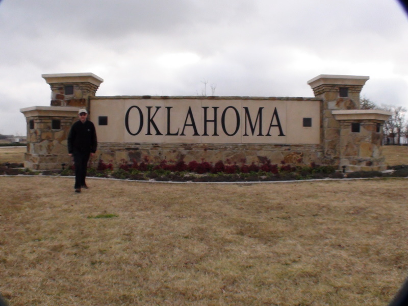
One thing I notice in Oklahoma is the very bad state of its
roads, much worse than in any other place I've been so far.
And, again, I didn't see a single police patrol while in OK.
The weather improves a little bit, with the low clouds clearing
up partially. The landscape, alas, is still not impressive. A lot
of hills we have to cross in the west part of the state.
The east part is more flat.
I see a lot of signs along the freeway marking the entering and
leaving of many indian nations. Osage, Cheyenne, Arrapaho, Comanche,
Cherokee. All the famous names of tribes are here (while I thought
they were more to the west. Of course the only tribe I found more to
the west is the Navajo Nation, in Arizona). It would be intersting
to come back, if not for the landscape, just to visit the different
Indian Nations represented in Oklahoma.
I have not seen a single police car in the whole state of Oklahoma.
If you pair that with the terrible state of the roads and the constant
road work sections, one has to conclude that Oklahoma doesn't invest
much money on roads.
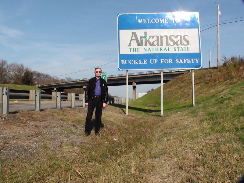
In contrast, Arkansas starts with
a menacing sign that says "All road laws strictly enforced, no tolerance".
And in fact, in the first 50 miles from the Oklahoma border I can
see at least 6 or 7 police cars, hiding behind hills, bridges
or parked on the right shoulder (they are in plain view, so I assume
it's to catch any driver who doesn't move to the left lane when
crossing a stopped vehicle, which is state law inn several Eastern States).
Strangely, though, about 50 miles into Arkansas, the police cars
disappear, and from there to the Tennessee border is business as usual.
Once again, I stop at the Arkansas visitor center to get a map,
and I'm on my way. While in Oklahoma I could hardly
see any house from the freeway, in Arkansas I can see a lot of
houses, barns and ranches, giving it a more "inhabited" feeling.
I'll have to check the population of the two states.
While the west part of the state is pretty hilly, the east part
(after Little Rock) is more flat. Vegetation has become more greener,
and I actually have the impression of driving in northern Italy
near my home town: lots of cultivated fields.
Other than that, not much variety. The same landscape keeps going
until the sun sets. It's already dark when I reach the Tennessee
border.

I cross the bridge over the Mississippi River (which unfortunately
I can only capture on camera in the dark, and drive through Memphis,
which is on the east shore of the river. From there, it's to the
final destination for the day: Nashville. I stop at a Knights Inn,
where I get a room for $44 including, and I go to sleep after 14 hours
of driving and 870 miles.
Next : To the North
|
|
 English -
  Italiano
